
Use VISUAL OBSERVER to place visual observer point on the map.
 Visual Observer |
|
NOTE: Exit Visual Observer mode by deselecting it from Draw menu.
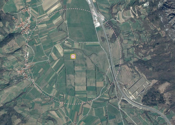 Visual Observer |
C-Astral C3P software has a “Visual Observer Locations” feature implemented to support advanced UAS operation planning in order to ensure a good situational awareness during the operation and to satisfy the UAS regulations (if applicable) in terms of assuring continuous visual contact with the UAS throughout the flight, i.e. EVLOS - Extended-Visual-Line-of-Sight flying with the help of properly positioned visual observer(s) to cover the entire area of UAS operation.
The Visual Observer Locations feature can be enabled in Settings dialog visual observer locations.
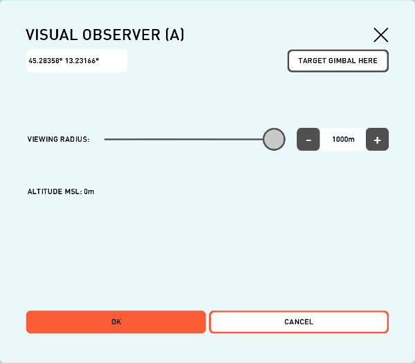 Visual Observer dialog. |
Parameter |
Description |
|---|---|
Coordinates |
Longitude and Latitude coordinates of the Visual Observer position. |
Viewing Radius |
Viewing Radius of Visual Observer. (max 1000 m) |
Altitude MSL |
MSL altitude on selected DTED. |
Once the feature is enabled, a “Visual Observer” button is added to the Draw menu and a pink dashed circle with 1000 m radius is automatically drawn around Home point – this circle marks the reference area, above which the UAS can already be visually observed by the UAS pilot, of course in ideal conditions.
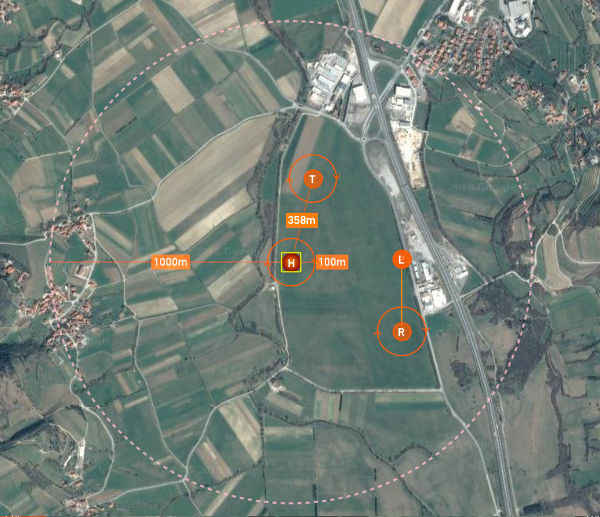 Dashed circle around home. |
If the actual conditions do not allow the UAS pilot to maintain the visual contact with the UAS at such distance (due to low visibility atmospheric conditions, nearby vegetation, structures, higher terrain or the pilot’s eyesight), the radius of the dashed circle needs to be reduced accordingly to the actual visibility conditions – this is done by selecting the Home point, then dragging the dashed circle to the new radius.
If UAS pilot alone cannot maintain the visual contact with the UAS all over the intended operational area, one or more locations of the supporting visual observers need to be considered during the mission planning - so at the end, the entire area of UAS operation is covered by the areas of estimated visual contact of each individual visual observer. Each visual observer location has to be carefully chosen, by estimating the suitability of the site for maintaining the visual contact with the UAS while flying over that part of the operational area.
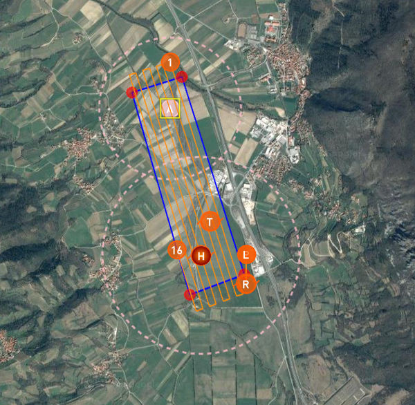 Multiple visual observers. |
Once the approximate location is chosen, a “Visual Observer” marker can be placed there, starting with letter A (then B, C,… - in case more than one visual observer is needed to ensure EVLOS throughout the operational area). Default viewing radius is set to 1000 m, but can be decreased to the estimated value by long-pressing on the visual observer marker, what opens its dialog window. In the marker dialog window, the terrain elevation as well as geographic coordinates of the selected visual observer site are also displayed.
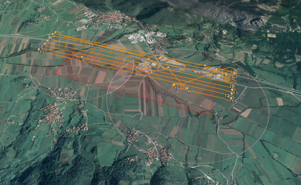 Visual observer in KML. |
